CASE STUDY
Ōtakaro Red Zone Aerial Mapping and Monitoring
Various suburbs, Christchurch
Backstory:
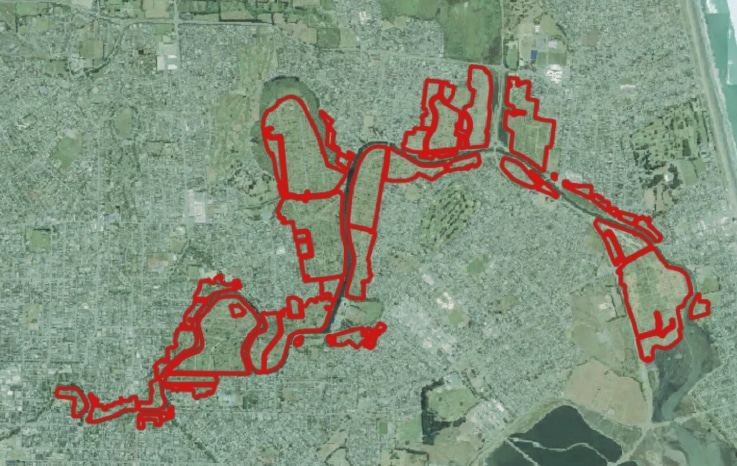
Post earthquake, over 8000 homes were demolished within 6.14 km2 of Christchurch and deemed residential red zone (RRZ).Being such a large piece of land in the heart of Christchurch, many stakeholders have a vested interest in making plans for the land.
CCC has a desire to integrate technology and smart information systems to help assess land use and make informed decisions.

The Challenge:
What do we do with this empty land?
Between the scope and scale of the RRZ, the diversity in land use, potential for further liquefaction, and minimal topological or hydrological information available, making decisions about the future of this land became extremely challenging.
CCC had minimal information about the changes in land use, ecological growth and development, or elevation changes over time for this piece of land.
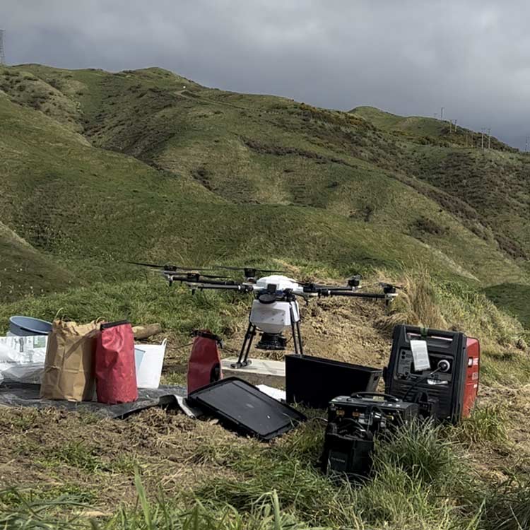
The Solution:
It was proposed to map the RRZ areas with our multispectral drone, capable of providing high tech images of the landscape; stitching the entire RRZ into one map that can be monitored over time.
Multispectral imagery is able to read chlorophyl levels in plants, see soil moisture levels, assess plant health, and give more defined data to AI.
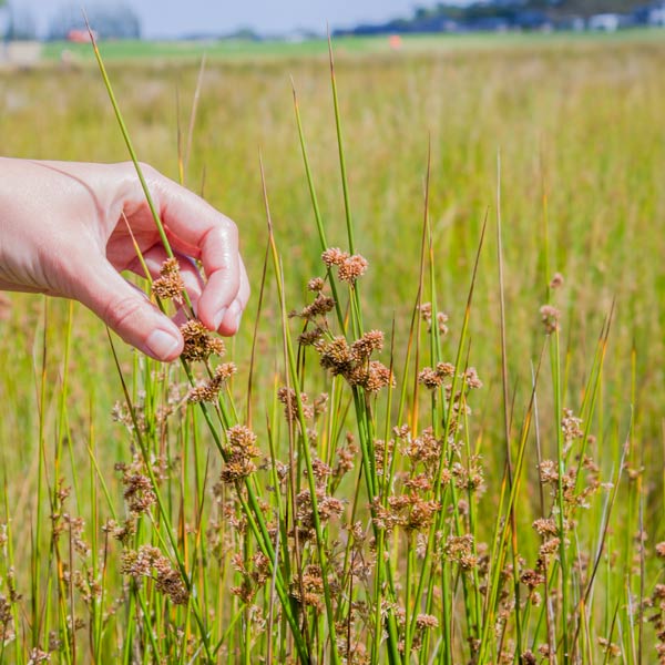
With the inclusion of AI, we are able to recognise existing plantings, provide species differentiation, and create shapefiles for use across multiple platforms.
Data captured during this project will be used by CCC to develop an app that informs species selection for planting projects within the RRZ.